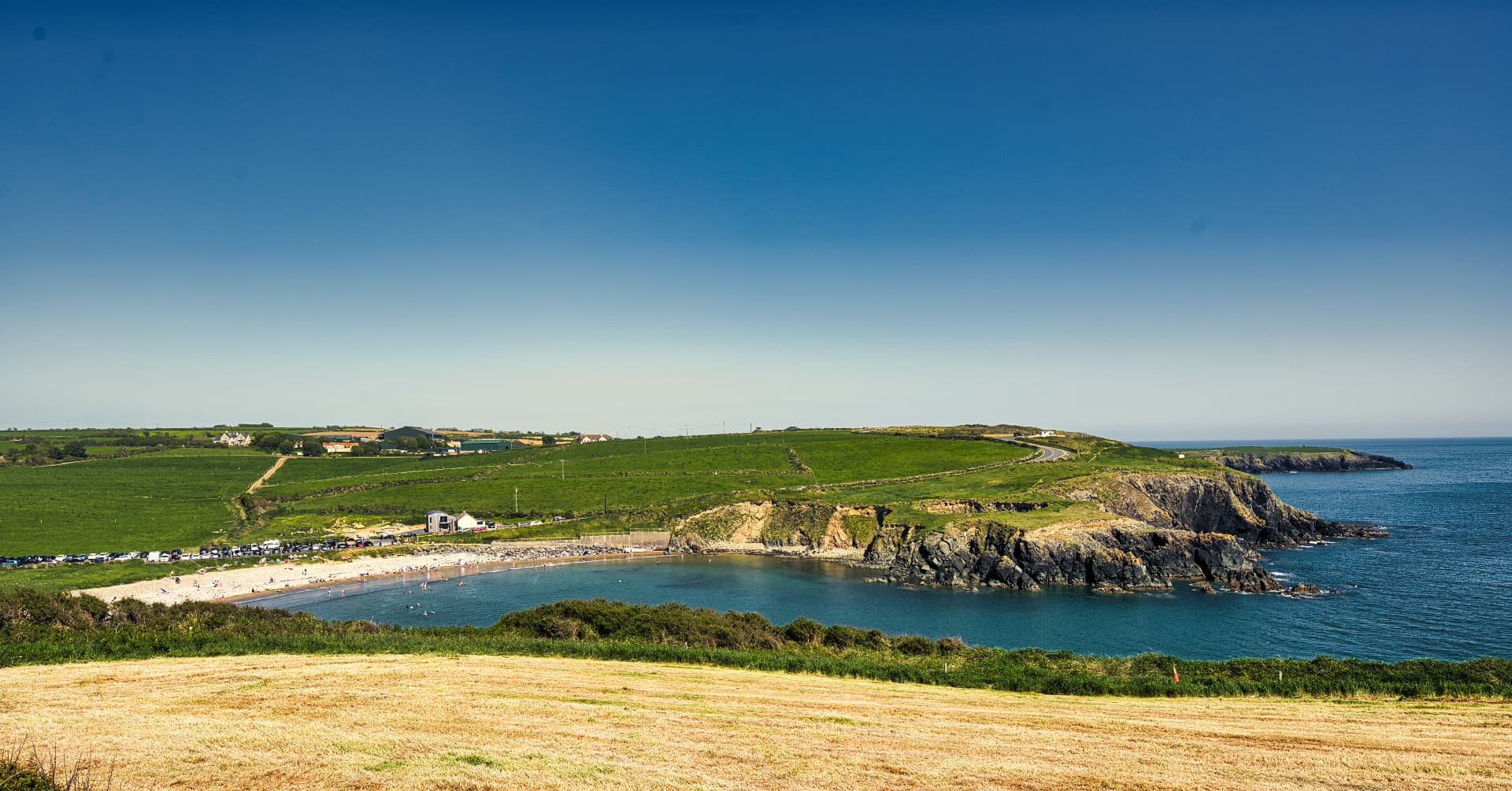
A Coastline Built by Volcanoes
The Copper Coast stretches for approximately 25 kilometres along the southern shoreline of County Waterford, between Tramore in the east and Dungarvan in the west, and it takes its name from the copper mining industry that was active along this coast from the 1820s through to the 1870s. The remains of that mining history — engine houses, mine shafts and processing sites — are visible at several points along the route, adding an industrial heritage dimension to a landscape that is primarily defined by its geology. The Copper Coast was designated a UNESCO Global Geopark in 2004, one of a global network of areas recognised for their outstanding geological heritage and their integrated approach to geology, nature and cultural tourism.
The geological story the Copper Coast tells spans approximately 460 million years, encompassing Ordovician volcanic rocks, Silurian sedimentary sequences, Old Red Sandstone and Devonian formations — a compressed record of the tectonic events that shaped the island of Ireland across geological deep time. The cliffs, coves and headlands along the coast expose these geological sequences in cross-section, making the Copper Coast one of the more accessible places in Ireland to read the geological history of the island directly from the landscape without specialised knowledge.
The Drive and What It Offers
The Copper Coast Drive — a signed tourist route that follows the coastline between Tramore and Dungarvan — is the primary way most visitors experience the area. It passes through a succession of small coastal villages and townlands — Fenor, Kilmacleague, Bonmahon, Annestown, Stradbally — each with its own character, its own small beach or cove, and its own particular relationship to the water. With rugged cliffs, sparkling coves and geological formations dating back millions of years, this UNESCO Global Geopark is a natural wonder that feels worlds away from the crowds.
Bonmahon is the most historically significant village on the coast — the former centre of the copper mining industry, where the Mining Heritage Trust of Ireland maintains a heritage site at the former Knockmahon mine complex, with a visitor trail that explains the industrial history of the area and the communities it supported at its mid-19th century peak. The village's location, at the mouth of the Mahon River where it meets a sheltered sandy beach, gives it a physical beauty that sits comfortably alongside its industrial heritage.
Annestown is a quieter community built around a sandy beach at the end of a steep valley — a beach that, outside of the peak weeks of July and August, provides the kind of uncrowded bathing and swimming experience that has become increasingly difficult to find on the Waterford coast. Stradbally, at the western end of the Copper Coast Drive, is one of the more complete small Waterford coastal villages — a single main street, a beach accessible by steps from the village green, and a community pub that operates on the assumption that people who are there are there for the right reasons.
The Geological Visitor Centre at Bunmahon
The Copper Coast Geopark Visitor Centre in Bunmahon — housed in the former Catholic church and managed by the Copper Coast Geopark team — provides an accessible introduction to the area's geological significance. The centre's exhibitions explain the formation of the different rock types visible along the coast, the volcanic events that produced the Ordovician formations of the eastern Copper Coast, and the relationship between geology and the human history of the area — from the Bronze Age copper mining that gave the region its prehistoric significance to the 19th century industrial extraction that gave it its modern name.
The Geopark team runs guided geological walks, family events and educational programmes through the summer season, making the Copper Coast's scientific significance accessible to visitors who do not arrive with a background in geology. The combination of the geological interest, the mining heritage, the coastal scenery and the low visitor numbers that currently characterise the area makes the Copper Coast one of the more complete hidden gem experiences available within a two-hour drive of Dublin, Cork or Waterford city.
Clonea Strand and the Western Approach
The western end of the Copper Coast journey concludes at Clonea Strand near Dungarvan — a long, gently shelving Blue Flag beach that is one of the finest in Munster and that provides a satisfying contrast to the rugged, rocky character of the Copper Coast cliffs. Dungarvan itself, the county town of Waterford, has a food scene and a cultural offering that significantly outperforms its size — with Waterford Blaa, the soft floury bread rolls protected by EU geographical indication status, as the local food landmark, and a vibrant farmers market and restaurant scene that draws food tourists from across Munster.
The Bottom Line
The Copper Coast UNESCO Geopark is the kind of Irish hidden gem that rewards both the casual scenic driver and the more engaged visitor who wants to understand what they are looking at. The combination of geological significance, mining heritage, beautiful and uncrowded coastal scenery and the accessible welcome of its small villages makes it one of Waterford's most distinctive and underexplored tourism assets — a 25-kilometre stretch of coastline that tells 460 million years of Irish geological history alongside a more recent story of industrial endeavour, community resilience and coastal beauty.